The place
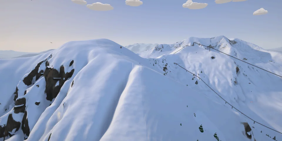
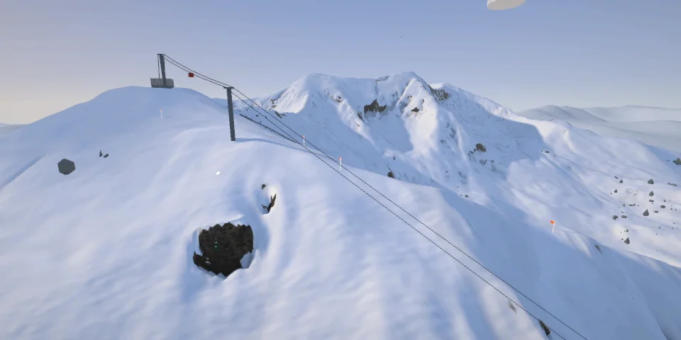
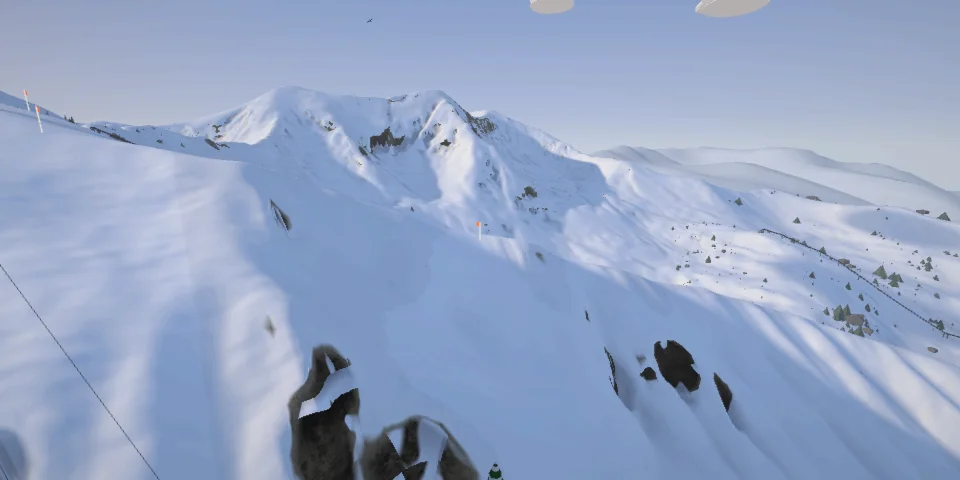
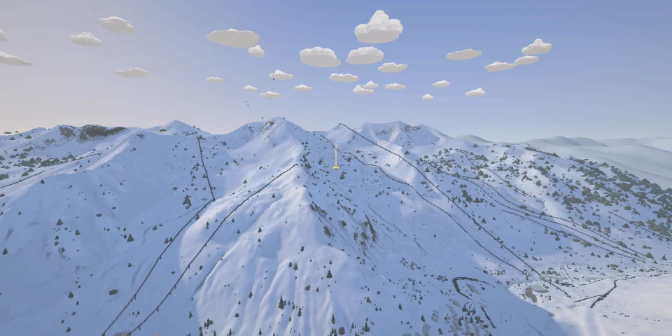
Two ski areas back to back at the head of Little Cottonwood Canyon, in the Wasatch above Salt Lake City, linked by gates on the ridge under Mount Baldy. Snowbird's tram has climbed 875 m to Hidden Peak since 1971; Alta, beside it, is still for skiers only. The Freeride World Tour came to Silver Fox in 2014 and is due on Mount Baldy's north face in 2027.
Off-piste Past the resorts' boundaries nothing is controlled or patrolled: avalanche terrain, your own risk.
- 17lines to start
The lines
Every line here, with how hard it is.
-
Mount Baldy's North Face
■■■■■From just under the summit between the two resorts, 3,374 m, down Snowbird's side into the Amphitheater above Peruvian Gulch: the face the Freeride World Tour has announced for 2027, and the one it planned for in 2014, when the contest moved to Silver Fox.
-
Upper Silver Fox
■■■■■Straight down the fall line under the tram cables: Silver Fox's steep top, north-facing moguls off Hidden Peak, to the bench where its way traverses west.
-
Great Scott
■■■■■Snowbird's signature steep: a north-facing gully off the Cirque ridge at nearly 40° for its first 200 m, rock at the entrance, and one of the first places tracked out after a storm.
-
Barry Barry Steep
■■■■■Off the west side of the Cirque Traverse into Gad Valley, the steepest sustained line on the ridge: 44° over its steepest 100 m and 34° over 500 m.
-
Mach Schnell
■■■■■The Cirque Traverse's last word: 450 m of moguls straight down the ridge's end under the tram to the plaza, as steep over 500 m as most chutes are over 100.
-
Regulator Johnson
■■■■■Snowbird's tram climbs 875 m in eight minutes to Hidden Peak; this is the first black off the top, off the ridge into the head of Gad Valley.
-
Chip's Run
■■■■■The way down for everyone from the top of the tram, and Snowbird's longest run: four kilometres of blue down Peruvian Gulch, under Silver Fox and the Cirque.
-
The Alimony Chutes
■■■■■Over the back of Hidden Peak into Mineral Basin, high, open and south-facing, along the rim to Sunday Saddle and down the chutes at up to 46°.
-
The Pipeline
■■■■■Just under the top of the Twin Peaks, the highest ground on the map at 3,500 m: a straight couloir at 46° over its steepest 100 m, sometimes called Utah's hardest in-bounds run.
-
Alf's High Rustler
■■■■■Alta's landmark, straight above the Alta Lodge: a north face that starts near 40° and runs nearly 400 m down to the canyon floor.
-
Main Chute
■■■■■A 25-minute bootpack from the top of Sugarloaf to Mount Baldy's summit, then Alta's most famous couloir, at up to 44°, with a narrow crux in its top third, out into the Ballroom.
-
Gunsight
■■■■■A sidestep from the highest line of the High Traverse over the ridge by a rock spire, then Alta's second most famous run: a 45° slot between rock buttresses, down toward Greeley Bowl and Albion Basin.
-
Westward Ho
■■■■■Off Alta's old double chair to the end of the ridge on the Snowbird line: "the Ho", 360 m of steep trees falling north to the Wildcat base.
-
East Castle, the Second Chute
■■■■■Under the towers of Devil's Castle at the head of Albion Basin: a long sidestep from the top of Supreme to a north face Alta's patrol opens only after the right storm.
-
Sidewinder
■■■■■From the top of Supreme along the ridge toward Catherine Pass and the Brighton side, then west off it through the limber pines and firs into Catherine's Area: Alta's quiet corner.
-
Mount Superior's South Face
■■■■■Backcountry, no patrol: the peak you look at from both resorts' lifts. 800 m of open south face from the summit straight down to the canyon road, steepest at the top in the low 40s, skinned from Alta by Cardiff Pass and the ridge.
-
Scotty's Bowl
■■■■■Backcountry, no patrol: out of Snowbird's gates when they're open, or up from the canyon, and off the resort into White Pine.