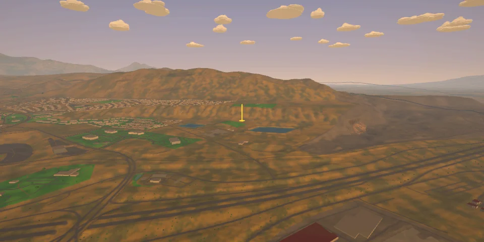
The place
In 1927 the University of Utah Flying Club flew gliders here, launched by car or rope crew. Hang gliders followed in the 1970s, paragliders in the late 1980s. The wind blows up the south face in the morning and the north face in the evening, and the Point is known worldwide as a training hill. The south side became a state park in 2006.
Is it legal? Legal for USHPA P2 / H2 pilots, or students with an instructor, under UHGPGA's site rules.
- 4exits to start
- 1more to find
- 10cross-country goals
The exits and launches
4 exits you know from the start. 1 more is out there for whoever walks the rim and looks.
-
Training hill
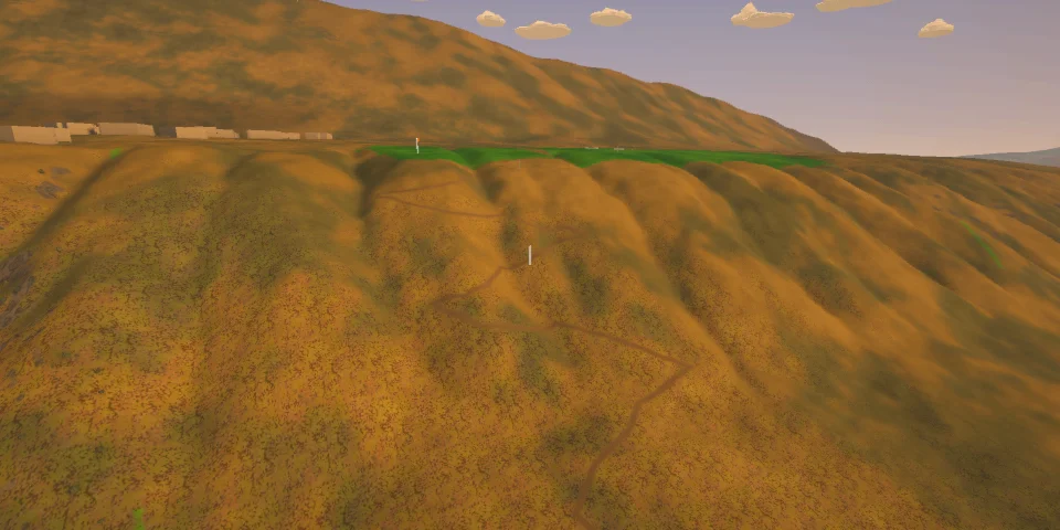
■■■■■Partway down the North Side's lower bench, ≈ 45 m over the LZ: a first flight.
-
North Side launch
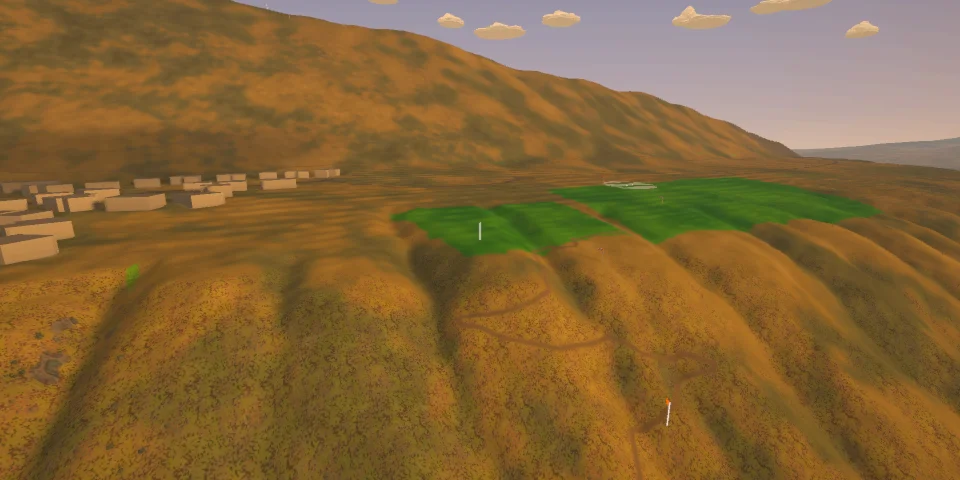
■■■■■The lip of the lower bench, 1,556 m, ≈ 90 m (300 ft) over the LZ: Utah's most popular ridge-soaring site, flown in the evening in a north to north-west wind (UHGPGA, for a paraglider: 5–18 mph, gusts under 5).
-
Speedwing launch
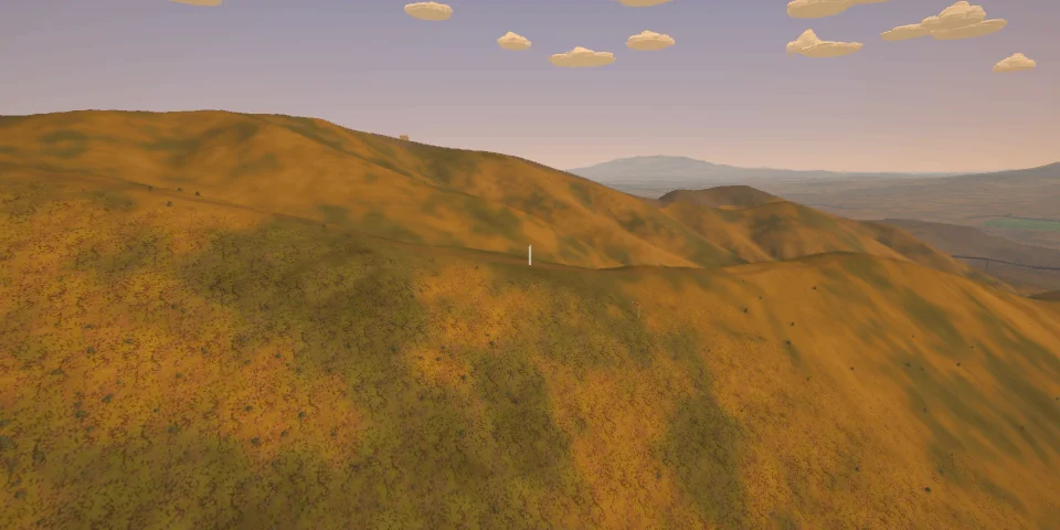
■■■■■The ridge above the North Side's launch, ≈ 1,778 m: speedwing and mini-wing pilots hike up and fly down to swoop the LZ. 35° of grass to the bench, the bench, then the lower bench to the field.
-
South Side launch
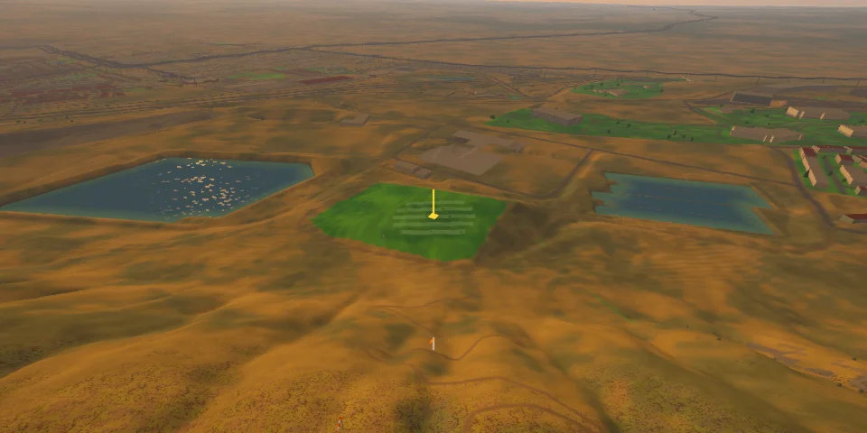
■■■■■Flight Park State Recreation Area: the top of the South Side, 1,569 m, ≈ 90 m over the gravel LZ — the training hill, flown in the morning in a south wind (UHGPGA: 160–200°).
Cross-country goals
The North Side to Maack Hill · The North Side to View Benchmark · Up the bench to Sunrise Point · Across the valley to Juniper Hill · The North Side to Little Mountain · The Traverse triangle · The North Side to Lone Peak · The North Side to Box Elder Peak · The North Side to Timpanogos · The Wasatch triangle